Dave has organized the pictures for this expedition a little differently — they're not as chronological as usual. This section is fairly chronological, however, containing pictures which illustrate the specific landscapes of the places we went.
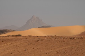
The Aïr Mountains
The Aïr Massif is a mountain range north of Agadez, between Arlit, the center of Niger's uranium industry, and the Ténéré Desert, a vast segment of the Sahara. "Ténéré" and "Sahara" mean "desert" in Tuareg and Arabic, respectively. Says Wikipedia. More pictures...
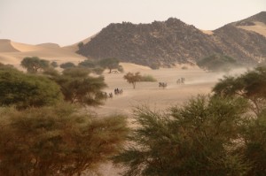
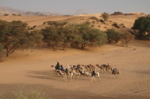
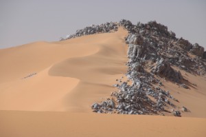
Tzirzet and Temet
We spent a few days at the eastern edge of the Air range. We traveled by camel for two days from the tiny village of Tzirzet, and then got back in the vehicles up to the dunes at Temet, said to be the largest in the Sahara. More pictures...
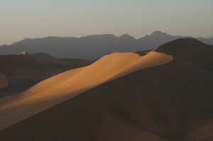
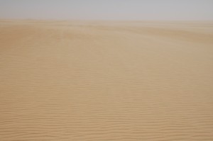
The Ténéré Desert
We left Temet and headed east toward Bilma and the eclipse path. On the way, we had lunch at the Blue Mountains, an outcropping of bluish marble. East of them were miles and miles of completely flat desert. More pictures...
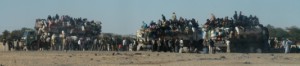
Dirkou and Bilma and Back Again
Dirkou makes Juarez look like Paris. It was the first town we'd seen in awhile. It was a major point for people from Central America West Africa to get onto trucks for the long drive through Mexico Libya in hopes of eventually making their way to fortunes in the United States Europe.
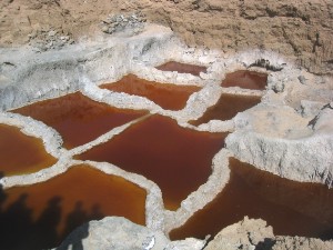
Bilma, a few dozen km south, still makes salt, and was in a perfect position to see the eclipse. More pictures...